

Chronicles
Meru and Kilimanjaro
Mount Meru and Mount Kilimanjaro
Here is additional information on the mountains Meru and Kilimanjaro.
Mount Meru
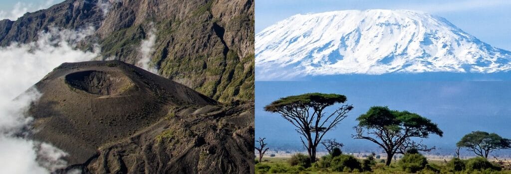
.jpg) Mount Meru is a volcano in northern Tanzania, overlooking the town of Arusha. At 4,565 meters, it is the country’s second-highest peak after Kilimanjaro, and the fourth-highest in Africa. Shaped like a horseshoe opening to the east, Mount Meru last erupted in 1910, making it a volcano that is still considered active. Mount Meru is its traditional name. Socialist Peak, its official name, was given to it in the early years of Tanzania’s socialist period, but is little used today. It is also known as Black Mountain and Ol Doinyo Orok.
Mount Meru is a volcano in northern Tanzania, overlooking the town of Arusha. At 4,565 meters, it is the country’s second-highest peak after Kilimanjaro, and the fourth-highest in Africa. Shaped like a horseshoe opening to the east, Mount Meru last erupted in 1910, making it a volcano that is still considered active. Mount Meru is its traditional name. Socialist Peak, its official name, was given to it in the early years of Tanzania’s socialist period, but is little used today. It is also known as Black Mountain and Ol Doinyo Orok.
Mount Meru is part of the eastern branch of the Great Rift Valley, which runs north-south across eastern Africa. It is located in northern Tanzania, seventy kilometers southwest of Kilimanjaro and some twenty kilometers north-northeast of the town of Arusha, which it overlooks from an altitude of 4,565 meters.
It is part of the Arusha National Park, created in 1967 and also covering the Ngurdoto crater and Momela lakes. Reaching an altitude of 4,565 meters, Mount Meru is a stratovolcano with relatively even slopes on its northern, western and southern slopes, overlooking the surrounding countryside by more than 3,000 meters. 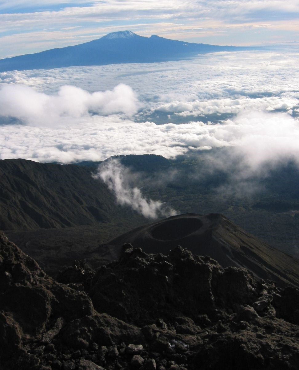 The center of the volcano and its eastern slope form an immense caldera five kilometers in diameter, bounded by a horseshoe-shaped cliff[], the highest walls of which reach a height of 1,500 meters.
The summit of Mount Meru is made up of one of these caldera rims, at the center of which is a cone of ash and tephra formed during recent eruptions and surrounded by lava flows that have covered most of the caldera floor. Numerous volcanic cones can be found on all the flanks, and a volcanic crater lies at the foot of the volcano to the north. The volcano’s flanks feature a number of peaks, including :
- Little Meru, at an altitude of 3,795 meters, overlooks the Saddle Hut refuge;
- Rhino Point, culminating at 3,800 meters above sea level, is located on the way to the final ascent and takes its name from the remains of rhinoceros bones found there.

Eruptive history
Mount Meru had a regular conical shape before the present caldera was formed 7,800 years ago during a gigantic collapse of the volcano’s summit. Further eruptions undoubtedly took place after this gigantic eruption, but we only know about them from 1878, when an eruption in the caldera produced explosions and lava flows from the northwest of the ash cone at its center. In 1886, new lava flows emerged from the same eruption site.
The last eruption, between October 26 and December 22, 1910, did not produce lava flows, but did generate explosions at the top of the caldera’s cinder cone. 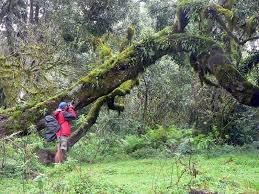 Since then, Mount Meru has not erupted, but is still considered active. Fauna and flora The Mount Meru massif, with its abundant rainfall, is an island of relatively lush vegetation and home to numerous wild animals (giraffes, buffaloes, zebras, colobus monkeys, etc.).
Photo safaris are available in the Arusha National Park, which encompasses it. Climbing Mount Meru’s summit is accessible to all good walkers after a three-day ascent. The summit’s altitude and the steepness of its slopes often make it an ideal warm-up for hikers wishing to attempt the Kilimanjaro ascent. Mount Meru does, however, have a certain difficulty associated with the length of the ascent, the altitude and the cold climate at the summit, which can lead to exhaustion, altitude sickness or hypothermia if the equipment is inadequate and the climber has overestimated his or her abilities.
The ascent takes place in several stages, with overnight stays in refuges: Miriakamba Hut at 2,500 meters and Saddle Hut at 3,600 meters. Accompaniment by an Arusha National Park ranger armed with a rifle is compulsory to prevent attacks by wild animals (leopards, charging buffalo if they feel in danger, etc.). Many trekking groups also use guides and porters.
The steep gradient takes you through a variety of landscapes: animal-filled clearings at around 2,000 meters altitude, denser, wetter forest at around 3,000 meters and a lunar landscape of rock and ash above 4,000 meters.  The summit of Mount Meru offers a much-appreciated panorama, particularly in the early hours of the morning, as the sun rises over Kilimanjaro, just a few dozen kilometers to the east.
Reaching the summit entitles you to a certificate, which you will receive at the park entrance on the last day of your ascent.
Mount Kilimanjaro
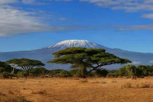
Kilimanjaro rises in northeastern Tanzania to an altitude of 5,891.8 meters, according to measurements taken in 2008 using GPS positioning and gravimetry, replacing the previous value of 5,895 meters obtained in 1952 by a British team. Its altitude makes it the highest point in Africa and one of the Seven Summits.
 “Old age is like climbing a mountain. The higher you go, the more tired you get, but oh how your vision has broadened!”
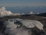 It lies not far from the border with Kenya, which runs along the foot of the mountain’s northern and eastern slopes. It emerges solitary from the surrounding savannah, towering between 4,800 and 5,200 meters above it, making it the highest isolated mountain in the world. The mountain is an oval-shaped volcanic complex measuring 70 kilometers from northwest to southeast by fifty kilometers from northeast to southwest, 340 kilometers south of the equator. Kilimanjaro is a stratovolcano with a generally conical shape.
It is made up of three main peaks, all of which are extinct volcanoes: Shira in the west at 3,962 meters, Kibo at 5,891.8 meters in the center and Mawenzi at 5,149 meters in the east. Kibo is crowned at its summit by an elliptical caldera 2.4 kilometers wide and 3.6 kilometers long, enclosing a 900-metre-diameter crater called Reusch Crater, in the middle of which rises a 200-metre-diameter cinder cone called Ash Pit. 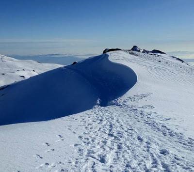 The main peak, on the southern rim of its outer crater, is called Uhuru Peak, while other notable points on Kibo include Inner Cone at 5,835 meters, Gilman’s Point, Leopard Point, Yohanas’ Notch and Hans Meyer Point, a gap named after the guide who accompanied the first ascent of the mountain.
The Kilimanjaro ice cap is confined to Kibo. Once clearly visible, the ice cap is now rapidly retreating. It covered an area of 12.1 km2 in 1912, 6.7 km2 in 1953, 4.2 km2 in 1976 and 3.3 km2 in 1996. Over the course of the 20th century, it lost 82% of its surface area. It lost an average of 17 metres in thickness between 1962 and 2000. According to NASA experts and paleoclimatologist Lonnie Thompson, it will disappear completely by 2020.
The streams created by melting ice feed two of the region’s rivers, but 90% of precipitation is captured by the forest. The disappearance of the glaciers is therefore unlikely to have a lasting direct impact on local hydrology, unlike deforestation and anthropogenic pressure, which has resulted in a four-fold increase in water detour for irrigation over the past forty years.
Climb
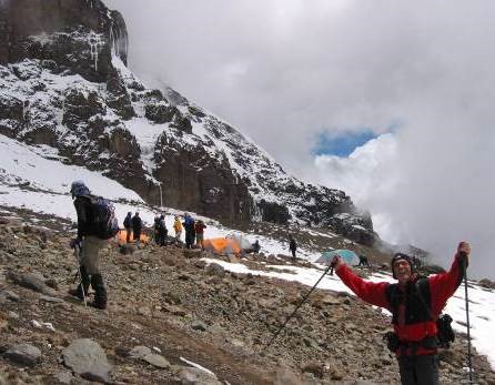 In 1883, Scottish scientist and explorer Joseph Thomson observed the northern slope from Masai territory and attempted to climb the summit, but failed to exceed 2,700 meters. He was followed by the Hungarian Count Sámuel Teleki and the Austrian Ludwig von Höhnel in 1887, but they did not exceed 5,300 meters due to Teleki’s painful eardrum. German geologist Hans Meyer, although advised by Teleki, failed in his first attempt at 5,400 meters in 1887. He tried again the following year, but failed again. After these two failures, Meyer decided to enlist the help of his friend Ludwig Purtscheller, an Austrian mountaineer, and Yohanas Kinyala Lauwodu, a Wachagga soldier in the Marangu army.
Well-prepared and subject to strict discipline, they finally reached the Kibo crater at an altitude of 5,860 metres on October 3.
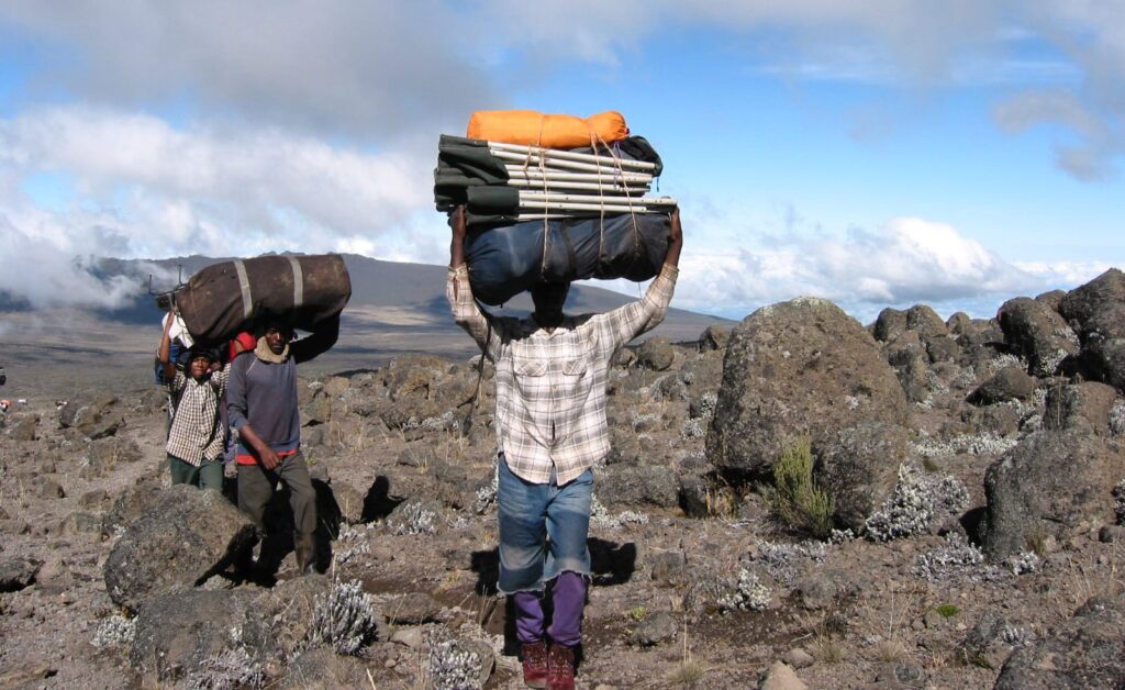
Meyer’s experience was decisive in the decision to set up camps supplied by porters along the route, to compensate for the lack of food in the event of repeated attempts. The men realized that, in order to climb the Kaiser-Wilhelm-Spitze (today’s Uhuru Peak), they had to bypass the rocky ridge. They reached the summit on October 6, 1889, after spending several hours carving steps in the ice with ice axes over the preceding days.
The ascent of Uhuru Peak was not repeated until twenty years later by Mr. Lange.
Weather and temperatures
Kilimanjaro has a tropical savannah climate. It is characterized by a pronounced dry season from mid-May to mid-October with temperate temperatures, then a short rainy season from mid-October to the end of November known as the “short rains”, followed by a hot, dry period from the beginning of December to the end of February and finally a long rainy season from the beginning of March to mid-May, the “long rains”.
At the foot of Kilimanjaro, the average annual temperature is 23.4°C, compared with 5°C at an altitude of 4,000 metres and -7.1°C at the summit of Kibo.
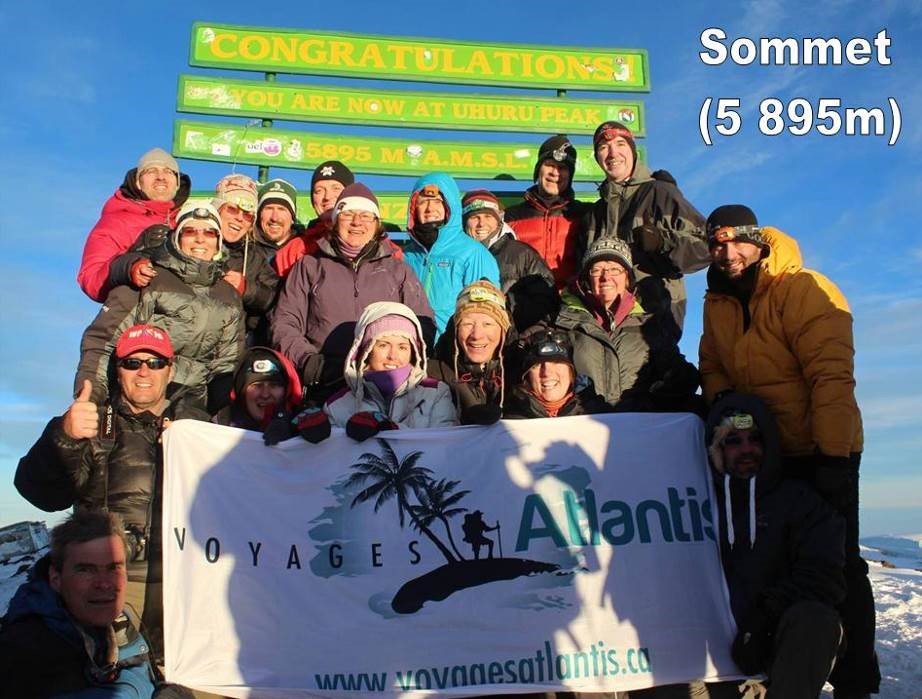
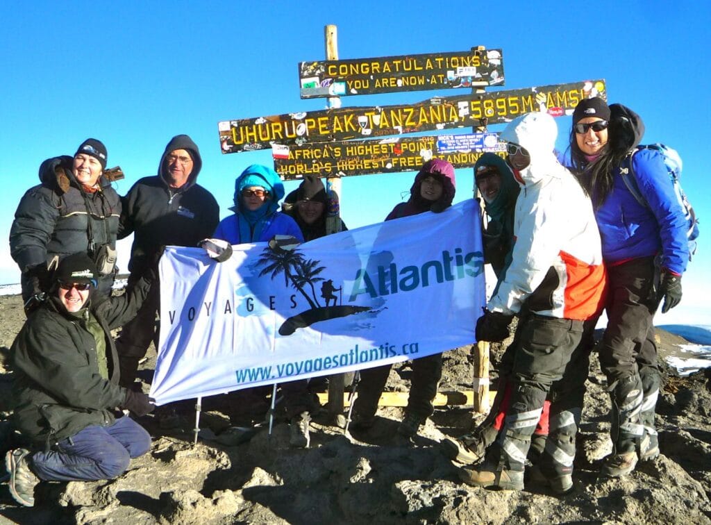
 Bravo to the climbers of the LANI foundation in 2014…


Start your adventure now!
To make a reservation or for any other information, please do not hesitate to contact us. We’ll be delighted to help!
Our latest chronicles
Discover our latest news, tips, tricks, guides and previews of the adventure that awaits you!

Our newsletters are not available in English yet. For the French version, click on Français in the upper right corner!

The new Entry/Exit System (EES) has been operational since October 12, 2025. European countries using the EES are gradually implementing…
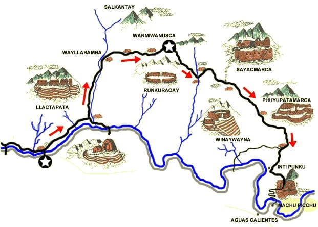
The Inca Trail and the Salkantay trek lead to Machu Picchu through Inca ruins, majestic mountains and lush forests. One…
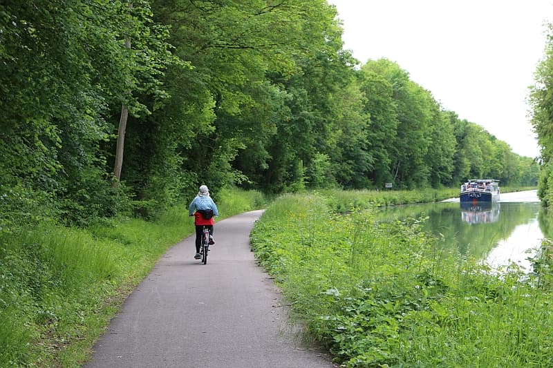
The bike-boat formula offers unique experiences. Why is the bike-boat package so attractive? The bike-boat package is attractive for a…
Stay informed about our upcoming adventures
Subscribe to our newsletter to receive information on our adventure trips and activities, as well as tips on how to make the best travel choices.


